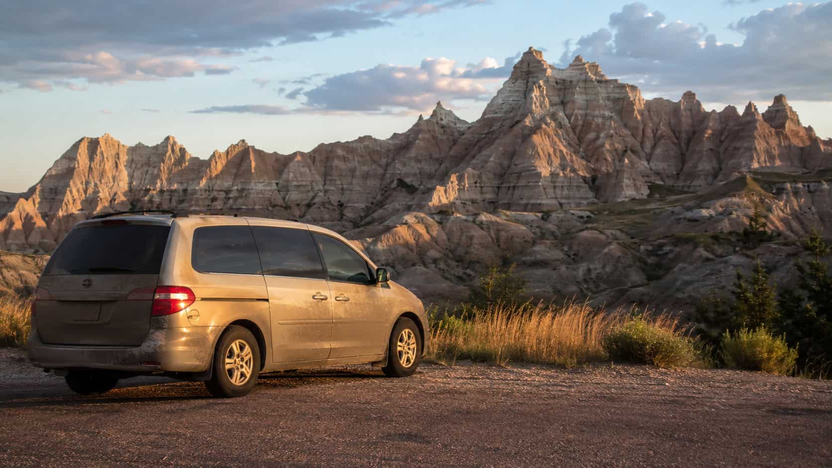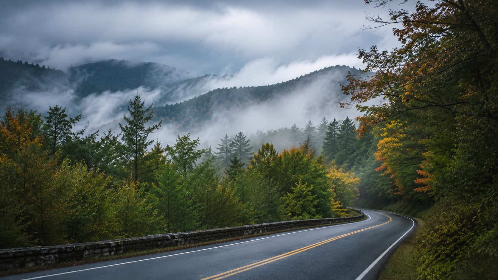


There is a specific kind of cold that rolls off Lake Superior. It hits you the moment you step out of the car, carrying the scent of pine needles and damp sand. Most visitors stick to the paved highways and the crowded overlooks when they cross the Mackinac Bridge. They want the easy photos. But the real reward of the Upper Peninsula comes when you take the long way around the shoreline. This route strings together a series of lighthouses that outsiders rarely mention. It requires a willingness to drive slow, navigate dirt roads, and let the map get rewritten halfway through the day.

The Caribbean for Less Than You Think
Up to 65% off + a resort credit + a free night at select Sandals resorts. 8 islands. 17 resorts. All-inclusive everything. See the deals →
The Route at a Glance
This drive covers the northern edge of the eastern Upper Peninsula. It is not a route you rush. The distances look short on paper, but the road conditions dictate your actual speed.
| Stop | Drive Time from Previous | Road Type |
|---|---|---|
| Point Iroquois Lighthouse | Start | Paved Highway |
| Whitefish Point Light Station | 45 minutes | Paved Highway |
| Crisp Point Lighthouse | 1 hour 15 minutes | Paved to Seasonal Dirt/Gravel |
| Au Sable Light Station | 1 hour 30 mins (plus 1.5-mile hike) | Paved to Foot Trail |
Point Iroquois to Whitefish Point
The drive begins at Point Iroquois. You can hear the freighters out on the water before you see them. The road here is smooth and paved. It hugs the shoreline tightly enough that you can keep the water in your peripheral vision. Heading west toward Whitefish Point takes about 45 minutes. The trees grow thick along the shoulder.
Whitefish Point is the most famous stop on this list because of the Great Lakes Shipwreck Museum. It is worth your time to walk the rocky beach. The wind here is constant. It shapes the trees and reminds you exactly who is in charge on this peninsula.
The Dirt Road to Crisp Point
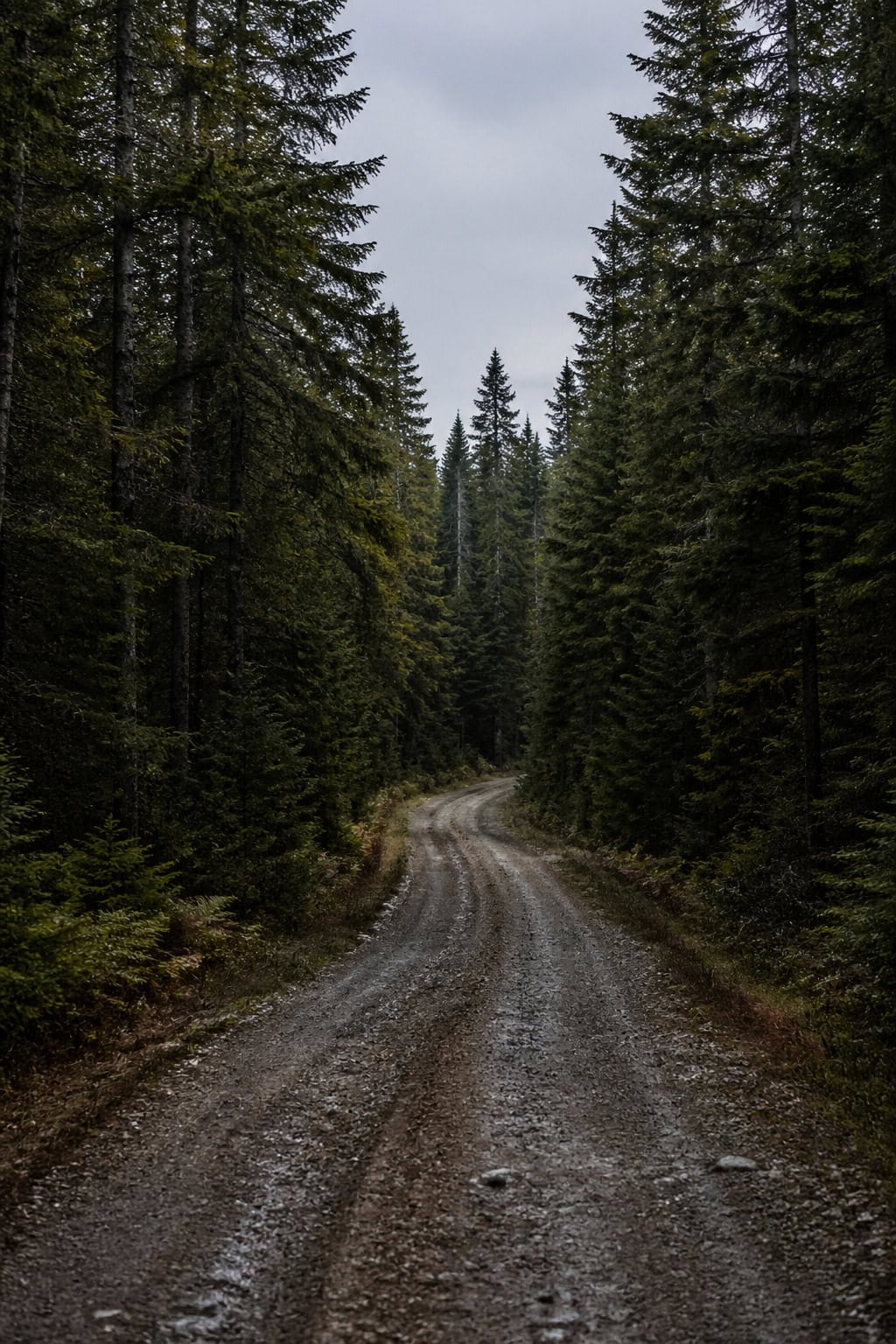
Leaving Whitefish Point means leaving the easy pavement behind. Crisp Point Lighthouse sits at the end of a long, winding county road. The asphalt eventually gives way to gravel and packed dirt. This is where the slow travel really begins.
You cannot rush this section. The washboards and blind curves demand your full attention. The isolation is the entire point of this detour. When the trees finally break, and the brick tower appears against the gray water, the slow drive makes perfect sense. You will likely share the beach with only a handful of other people willing to put up with the dust.
Au Sable Light Station
The final lighthouse requires you to leave the car entirely. Au Sable Light Station sits within Pictured Rocks National Lakeshore. You park at the Hurricane River Campground and walk a mile and a half along the North Country Trail.
As a former outdoor guide, I always appreciate a destination that forces you to use your legs. The trail is flat and skirts the edge of the lake. You can see the remains of old shipwrecks poking through the sand in the shallow water. The hike filters out the crowds. By the time you reach the tall white tower, the quiet is absolute.
Local Food and Fuel
Finding a good meal up here requires looking past the neon signs. You want the places with gravel parking lots and faded siding. A proper Upper Peninsula road trip runs on pasties. These heavy, meat-and-potato hand pies were built for miners, but they work just as well for drivers navigating dirt roads.
Stop at a local bakery in Paradise or Grand Marais before you head into the remote stretches. Grab a couple of pasties and a thermos of black coffee. Eat them on the hood of your car while watching the waves. Do not expect cell service while you chew.
Remote Driving Preparation Checklist
Driving the remote stretches of the Upper Peninsula requires actual preparation. The weather changes fast, and the gas stations are far apart.
- Download offline maps: Cell service disappears completely near Crisp Point. Save the entire region to your phone before leaving St. Ignace or Sault Ste. Marie.
- Top off your gas tank: Fill up in Paradise or Grand Marais. Do not pass a working pump if you are below half a tank.
- Check your spare tire: Make sure it is fully inflated, and you have the right jack. Tow trucks take hours to reach these county dirt roads.
- Pack extra water and heavy layers: The temperature near the lake can drop twenty degrees in an hour, even in the middle of July.
Taking the Long Way
The best road trips are never about making good time. They are about paying attention to where you are. This stretch of Michigan shoreline offers a quiet alternative to the busy summer tourist traps. It asks for a little more effort and a lot more patience. If you pack a good lunch, check your tires, and respect the dirt roads, the big lake will give you exactly what you came looking for.