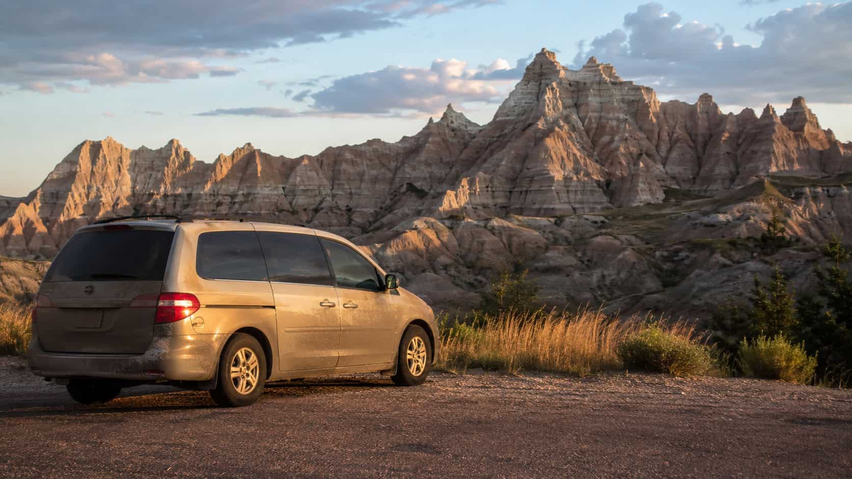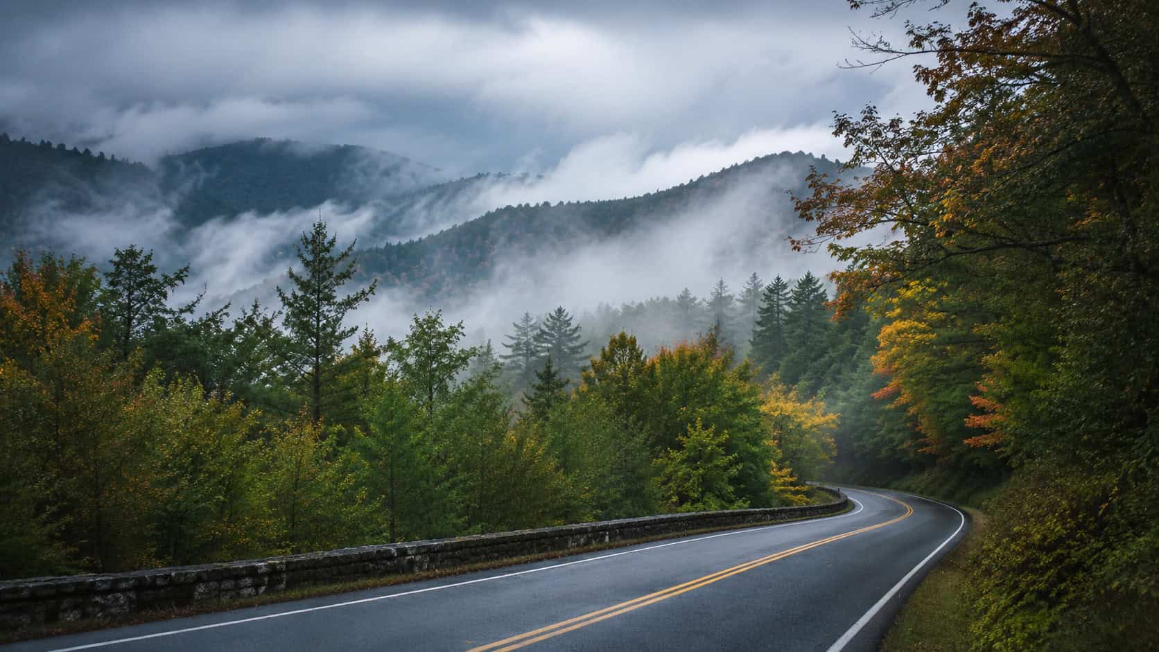

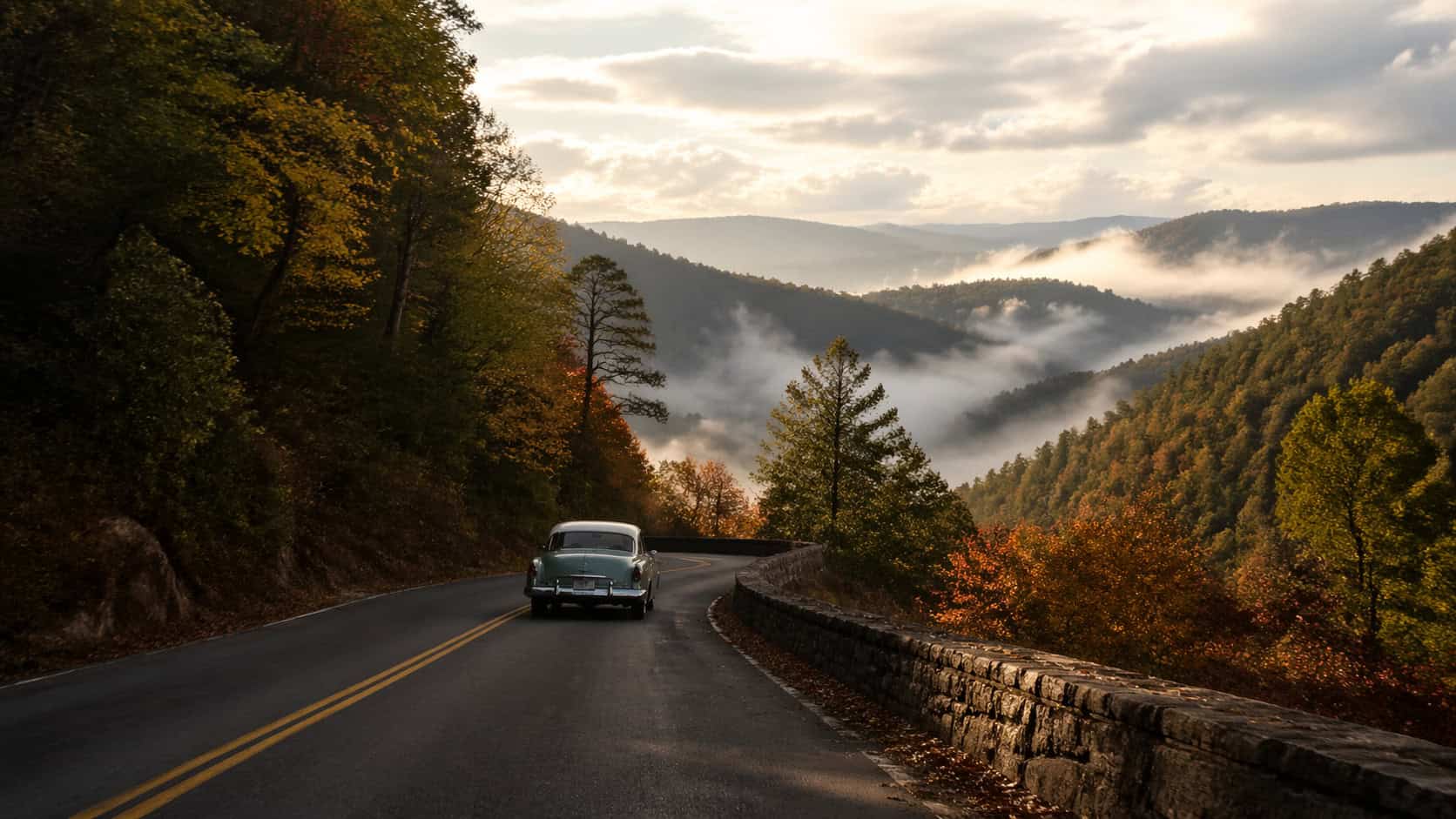
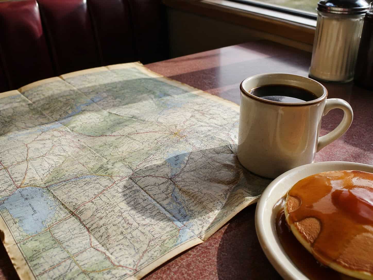
The coffee is black, served in a thick ceramic mug that has probably been in circulation since the Eisenhower administration. I am sitting in a booth in Staunton, Virginia, looking at a worn paper map. The plan is simple. I want to drive west on U.S. Route 250 into Highland County. This specific stretch of two-lane blacktop is a back-road drive across Virginia that feels exactly like 1952. You will not find passing lanes or digital billboards out here. You just find the road, the mountains, and a whole lot of quiet.

The Caribbean for Less Than You Think
Up to 65% off + a resort credit + a free night at select Sandals resorts. 8 islands. 17 resorts. All-inclusive everything. See the deals →
As a former outdoor guide, I have spent years chasing scenic byways and trail towns. I firmly believe the best road trips are the ones where the map gets rewritten halfway through. Route 250 is built for exactly that kind of travel. It forces you to slow down, roll down the windows, and pay attention to the terrain.
The Route at a Glance
Before you put the car in drive, it helps to know what you are getting into. This is not a highway designed for efficiency. It is a mountain pass designed to follow the natural contours of the earth.
| Detail | Information |
|---|---|
| Starting Point | Staunton, VA |
| Ending Point | Monterey, VA |
| Distance | Approximately 45 miles |
| Drive Time | 1.5 hours (without stops) |
| Best Season | Autumn for foliage, Spring for maple syrup |
Leaving the Modern World Behind
Driving out of Staunton, the transition is immediate. The strip malls fade away, replaced by rolling pastures and old wooden barns leaning slightly into the wind. The road begins to climb as you approach the George Washington National Forest. This is where the real drive begins.
You hit the base of Shenandoah Mountain, and the road twists into a series of tight switchbacks. The air physically changes up here. It gets cooler, sharper, and smells heavily of pine needles and damp earth. I usually drive with the radio off on this stretch. The sound of the tires humming on the asphalt and the occasional gear shift is all the soundtrack you need.
A Necessary Detour on Foot
I originally planned to push straight through to Monterey for lunch. But as I reached the crest of the mountain, I saw the pull-off for the Confederate Breastworks interpretive trail. I hit the turn signal and rewrote the morning’s plan.
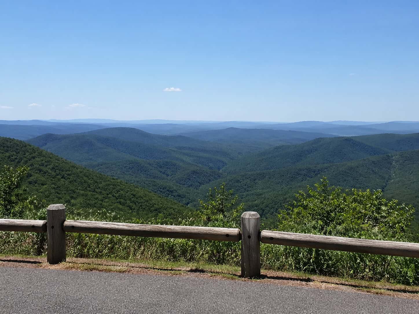
Getting out of the car is mandatory on a drive like this. The trail is short, but it offers a sweeping view of the valley below. Standing up there, looking out over the blue-green ridges fading into the distance, you understand why people have been traveling this specific route for centuries. It is quiet enough to hear a crow call from a mile away.
Finding the Perfect Hole-in-the-Wall
Dropping down into Highland County, you enter what locals call Virginia’s Little Switzerland. The valleys are high, the winters are harsh, and the food is incredibly comforting. Monterey is a classic trail town that feels entirely untouched by modern tourism trends.
I pulled up to High’s Restaurant, a local staple that has been serving food since the mid-twentieth century. The floorboards creak, the waitresses know everyone by their first name, and the menu is wonderfully straightforward. Highland County is famous for its maple syrup, so ordering a plate of pancakes is practically a legal requirement, regardless of the time of day. The syrup is dark and rich, tasting like the woods outside.
How to Prepare for a 1950s-Style Road Trip
If you want to experience this route properly, you need to prepare differently than you would for a blast down the interstate. Out here, self-reliance is part of the charm.
- Bring a paper map: Cell service drops entirely in the national forest. Do not rely on your phone to tell you where the next turn is.
- Carry cash: Many of the small farm stands and older diners in this region do not accept credit cards.
- Fill your tank early: Gas stations are sparse once you leave Staunton. Top off before you start the climb.
- Pack a cooler: You will pass numerous spots perfect for a roadside picnic. Having cold water and local apples on hand makes the drive much better.
Frequently Asked Questions
Is Route 250 safe for RVs?
It is passable, but not recommended for large RVs or inexperienced drivers. The switchbacks are very tight, and the grades are steep. Smaller camper vans handle it fine, but anything over 25 feet will struggle on the sharpest curves.
Are there places to camp along the way?
Yes. The George Washington National Forest offers several primitive camping spots, and there are established campgrounds near McDowell and Monterey. Just be prepared for cold nights, as the elevation keeps the temperature down.
What is the best time of day to drive this route?
Early morning is unbeatable. The fog often settles in the valleys, and the morning light hitting the ridges is incredible. Plus, you beat the local truck traffic.
Driving Route 250 is a reminder that the fastest way between two points is rarely the most interesting. Sometimes, you just need to put the car in a low gear, roll the windows down, and let the road dictate the pace.